Limitless flight in complex environments
Limitless flight in complex environments
Inspection in the most challenging locations
The case
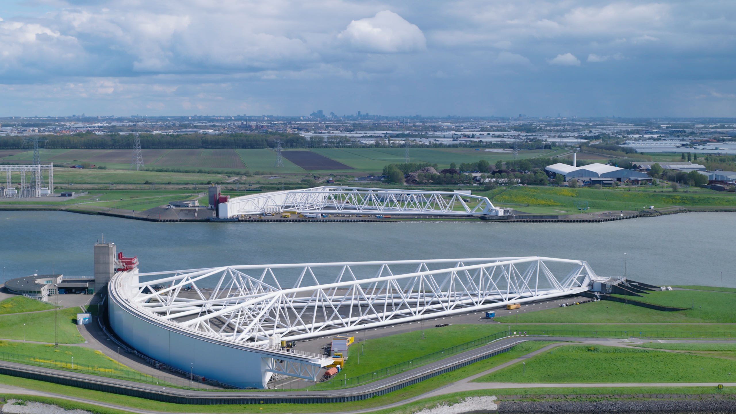
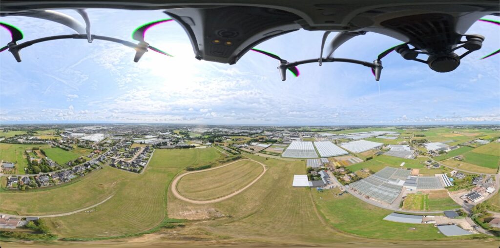
For our partner AeroSophia, we were commissioned with a challenging assignment: accurately mapping eight different dike sections in the Hollandse Delta water authority (Rotterdam Metropolitan Area) using photogrammetry. This was no standard flight, as these dikes were located in areas where every meter counts and regulations are stringent.

The unique challenge
Flying at these locations meant navigating a web of restrictions and authorities. Each dike brought its own complexity:
Railway Infrastructure: Flying near and above tracks required specific authorization from ProRail (the Dutch railway infrastructure manager).
Military Low-Flying Zones: We submitted NOTAM (Notice to Airmen) requests to the Ministry of Defence to operate safely within active military low-flying areas.
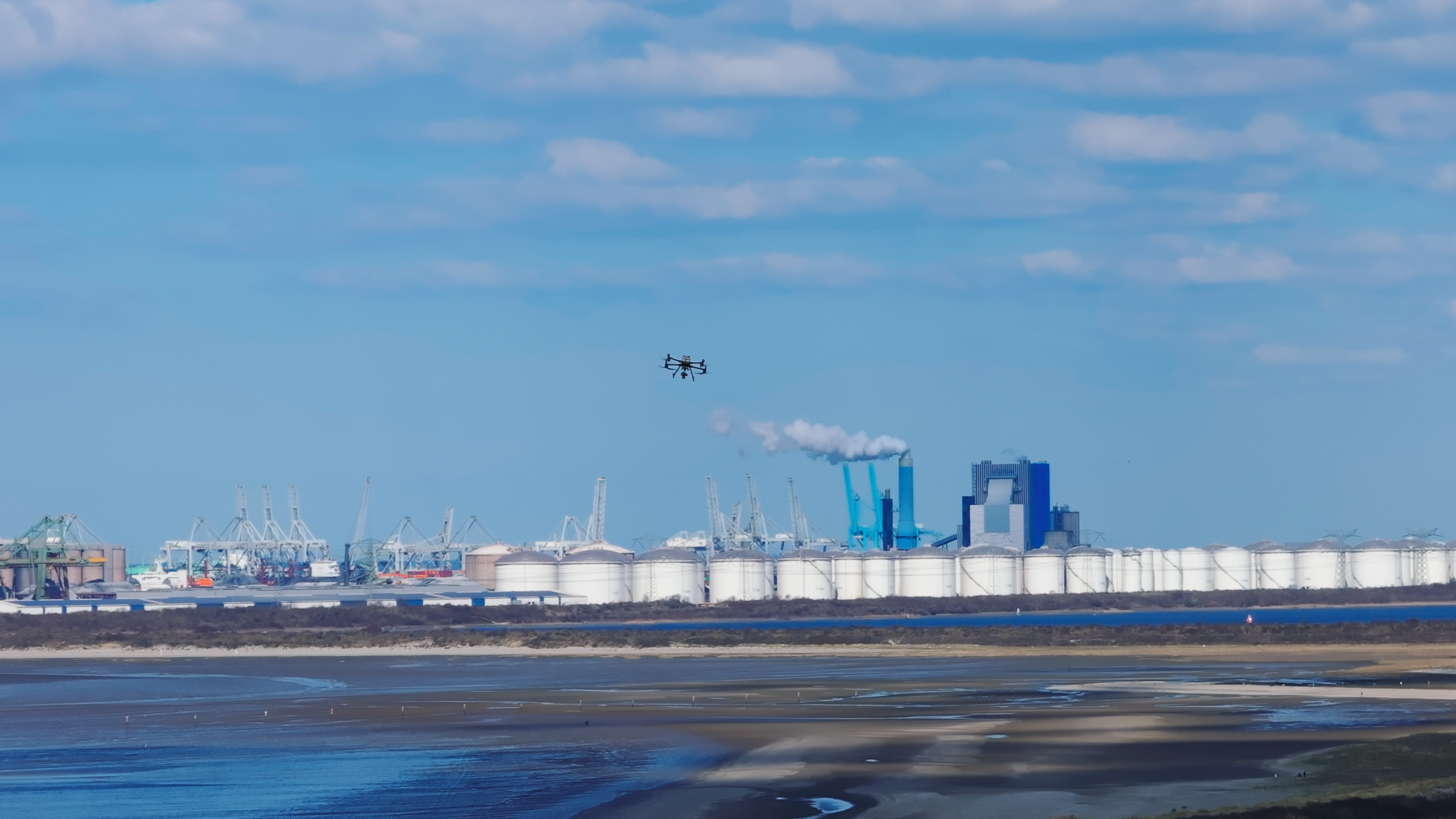
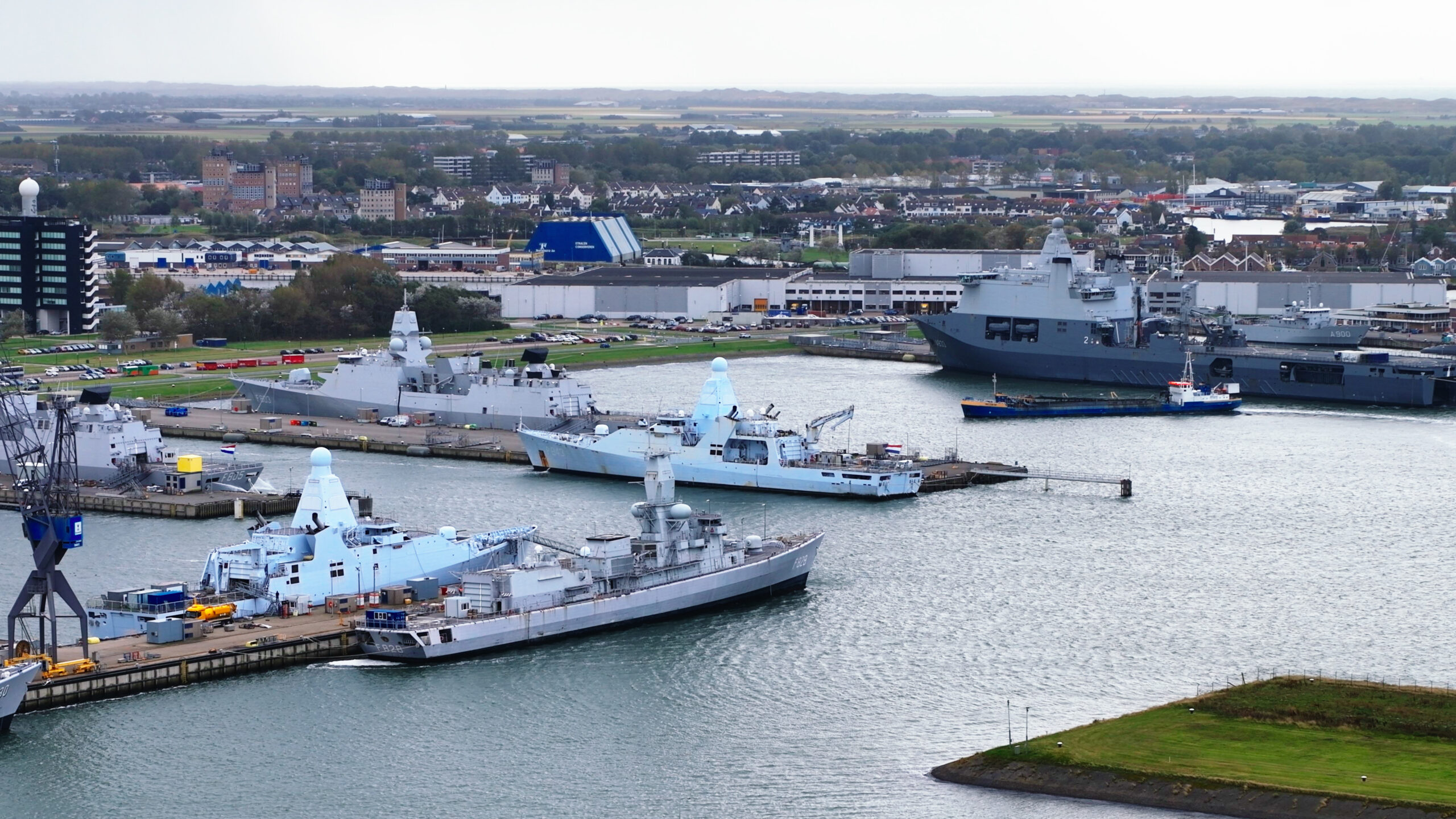
Port of Rotterdam: A flight request was mandatory for the Port of Rotterdam area, coordinated through their Airwayz platform.
CTR Rotterdam-The Hague Airport: Flying in controlled airspace requires meticulous coordination with Air Traffic Control (ATC). Learn here how to manage such authorizations.
The solution
Our greatest strength during this mission was not just the hardware, but primarily our in-depth knowledge of waivers and permits. By mastering the entire process of applications, authorizations, and protocols, we were able to fly in locations where others weren’t even allowed to take off. We handle the bureaucracy, so the drone can take to the skies safely.
The result
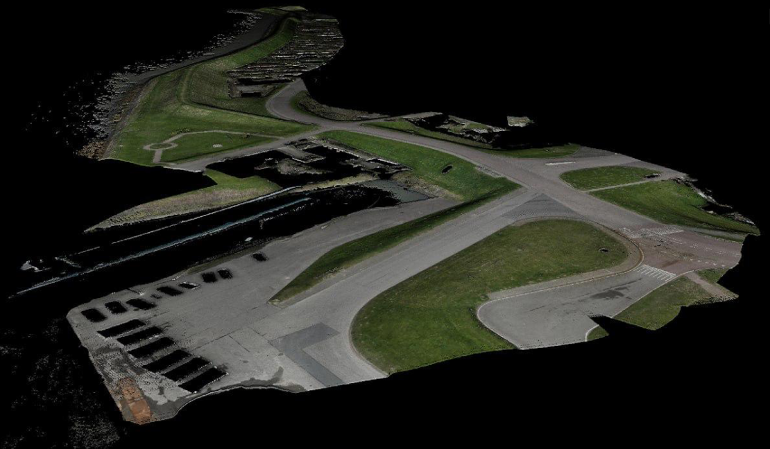
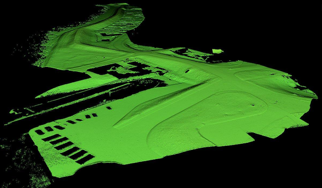
The end product is a technical masterpiece. To the side, you can see one of the surveyed dikes; our images have been processed into an extremely accurate 3D model. Within this software, an inspector can now perform a full analysis of the dike’s condition remotely and comfortably from a laptop, without ever having to step into the field.
Complex zones or strict regulations? We manage the access and deliver the data.
More Campaigns

Ready for take off?
We are ready to take off for you.