Australian exotics in our waterways
Australian exotics in our waterways
how drones protect the Weerribben-Wieden
The situation: an aquarium plant becomes a nature problem
In the Natura 2000 area De Weerribben-Wieden, several aquariums have been emptied—unexpectedly with major consequences. An exotic water plant, the Waterweed from Australia, has spread through these releases into ditches, canals, and shorelines.
What began as an innocent aquarium plant has now become a serious ecological risk. The species grows rapidly, smothers native plants, and disrupts the natural character of the fragile peatland landscape. The overgrowth also affects recreation: boat propellers become entangled in the dense vegetation, rendering various waterways barely navigable or even completely closed.
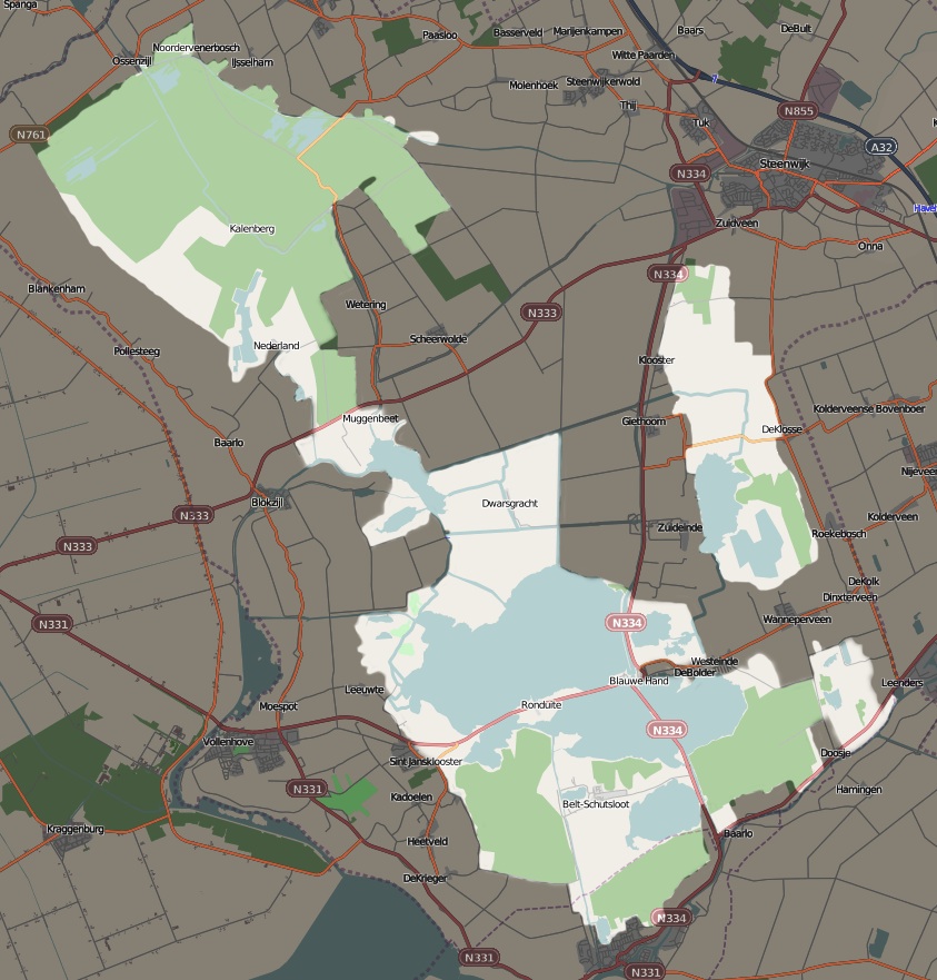
The assignment: mapping the entire area
The Knowledge Centre for Unwanted Rooting Water Plants (KOWW) asked Zero Gravity Drone to systematically and accurately map the entire area. The challenge: photographing thousands of narrow waterways and reed banks at enough detail to make the underwater plant clearly visible.
The approach
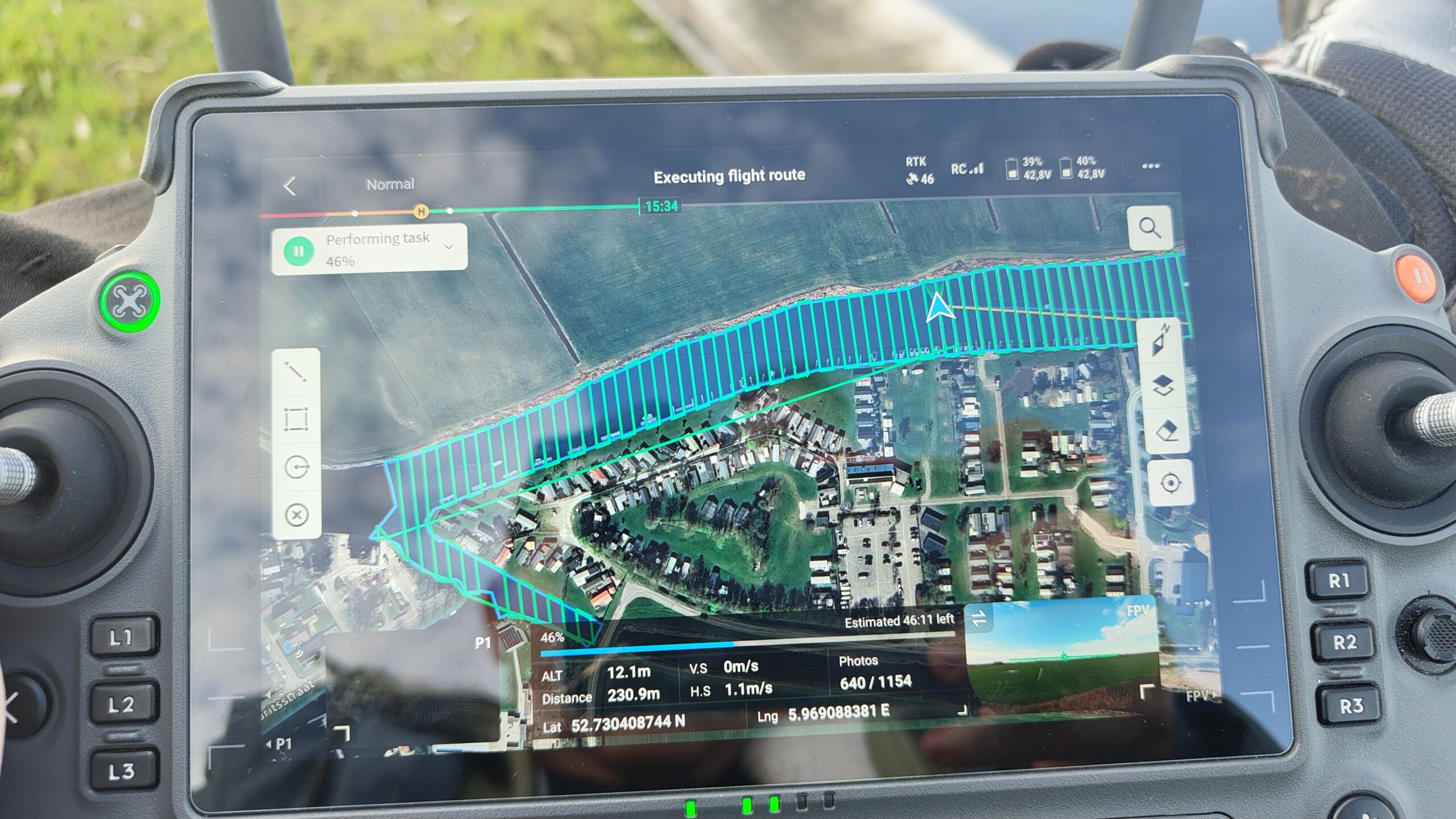
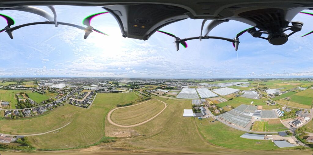
1. Flying at only 12 meters altitude
Because the Waterweed grows underwater, image quality needed to be extremely high. To achieve the desired Ground Sampling Distance, we flew consistently around twelve meters, pretty low. This produced highly detailed images where even small clusters of Waterweed are identifiable.
2. Obstacles and precise flight planning
Many missions followed the edges of narrow waterways. This meant encountering trees, reed beds, and other obstacles, requiring each route to be carefully planned.
3. Thousands of images per mission
Each flight produced thousands of photos, forming an extremely detailed map of the entire water network.
4. Strict control over exposure
Constant light adjustments were essential:
- Shutter speeds had to remain high enough to avoid motion blur.
- ISO had to stay low to prevent noise.
- The water surface had to be consistently well-exposed to reveal the plants beneath.
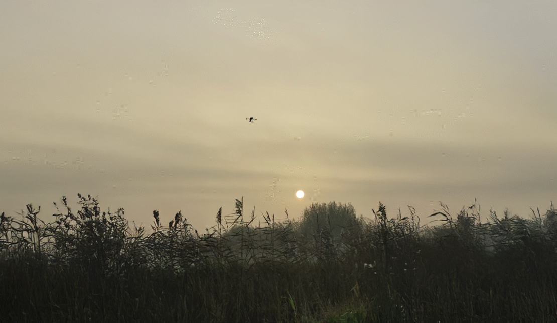
Because of these requirements, we primarily flew between 9:30 and 16:00 during Q4 2024, when lighting conditions were optimal.
5. Manual focus for maximum sharpness
On day three we discovered the ideal focusing method: at twelve meters altitude, the water surface was sharpest when the lens was manually set four steps before infinity. This consistent sharpness was crucial for accurate AI detection.
Smart detection with AI
Manually analyzing tens of thousands of photos would take months. Instead, all images are automatically processed by a trained AI model that distinguishes Waterweed from other aquatic plants.
The software flags suspicious locations, after which specialist rake boats visit these hotspots. There, Waterweed is removed from the water and dried along the shore. This approach saves enormous time and allows for far more targeted management of the area.
Toward a future of early detection
Drones and AI are transforming how ecologists track invasive species. Where efforts used to be primarily reactive, these technologies enable proactive and preventive monitoring.
For De Weerribben-Wieden, this means the Waterweed has far less chance to spread unnoticed. And for the Netherlands, it demonstrates how innovation can help preserve vulnerable natural landscapes.
In the near future, Zero Gravity Drone expects to further enhance this workflow using a 100-megapixel Phase One P1 camera combined with the DJI Matrice 400. With this setup, we can fly higher and faster while maintaining the same level of detail. This will allow nature reserves to be monitored even more efficiently for invasive species, tree density, vegetation mapping, biodiversity indicators, and tree height and diameter measurements.
More Campaigns

Ready for take off?
We are ready to take off for you.